LOCK KEEPER AWARD PRESENTED TO DEBBIE WINDSOR

The Shubenacadie Canal Commission was pleased to award Debbie Windsor with the 2018 Henry Findlay Lock Keeper Award.  This award is presented to friends of the Shubenecadie Canal and Waterway who dedicate their time and effort towards improving this provincial heritage resource and its parklands for the enjoyment of all residents and tourists. 

Debbie generously devoted her time and leadership over the past seven years including bringing to the SCC much improved and stable operations as Chair and Treasurer, attracting strong members to the Board, and a legacy of excellence that will long impact the future of the organization.

Thanks for everything Debbie!

IMG_2988 (2).JPG

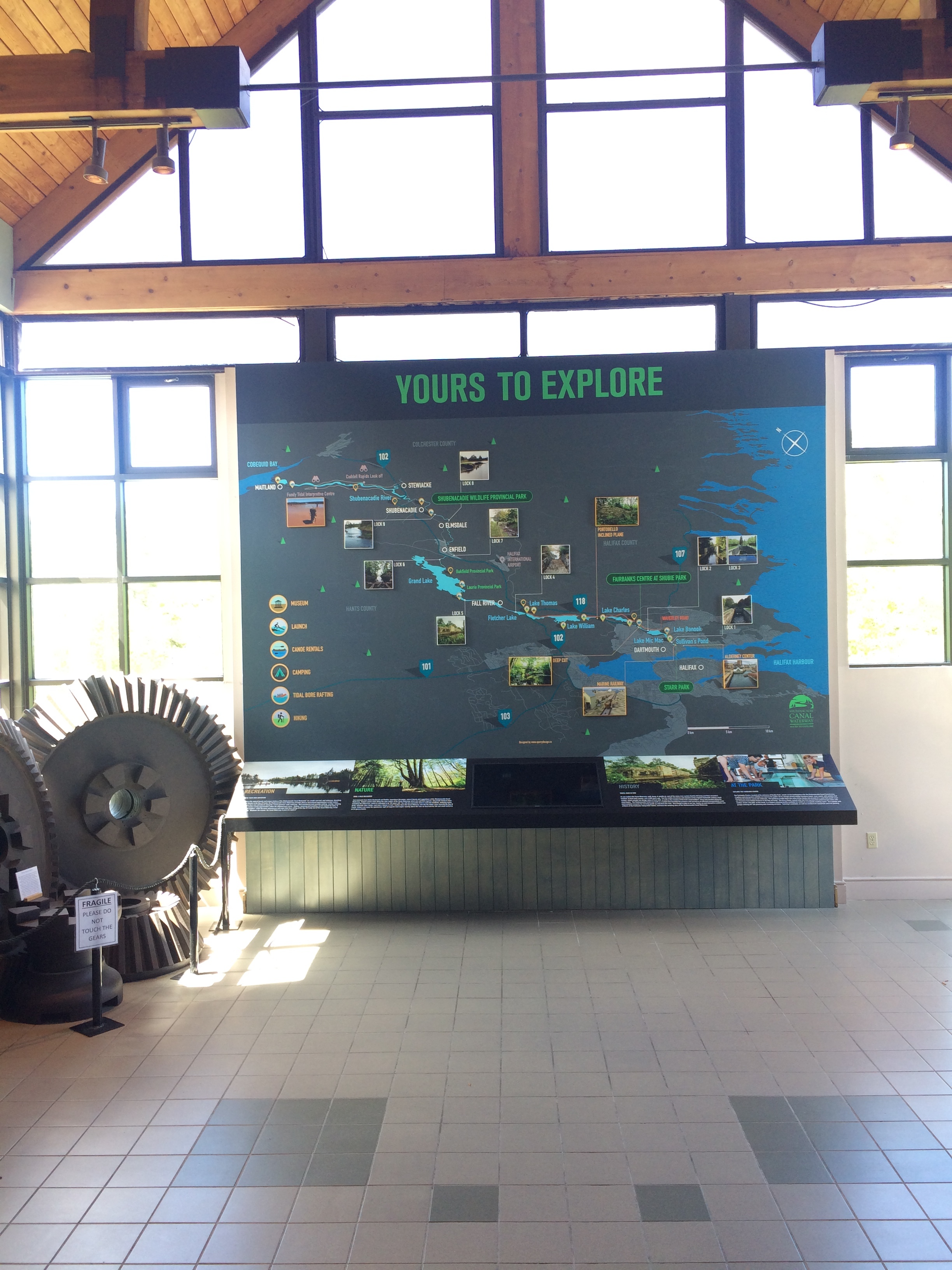
Fairbanks Centre Interpretive Map Upgrade

The Shubenacadie Canal Commission’s Fairbanks Centre, located at the entrance of Shubie Park, has just received a major upgrade in the form of an expansive interpretive map. The Fairbanks Centre, built in 1986, currently provides accommodations for a Canal interpretive centre, a meeting space for external events, a new office for HRM Adventure Earth programming, and the headquarters of the Shubenacadie Canal Commission. The Centre houses numerous displays of local history, including Mi’kmaq stone tools and various artifacts left over from the homes of Canal workers, all of which have been found along this particular stretch of the Shubenacadie Canal.

Over the past two years, the Commission has embarked on the project of rebranding the Shubenacadie Canal, promoting its history, recreation, and nature in order to foster public engagement with the waterway. The latest step in this process is the recent installation of a new interpretive map on the Fairbanks Centre’s sizeable back wall.

Map wall now

Map wall now

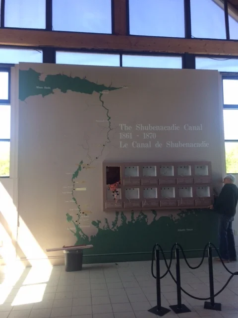
Map wall before

Map wall before

This map will provide visitors to the Fairbanks Centre with details on all the main components of the Shubenacadie Waterway, including the Shubenacadie River, with its famously powerful tidal bores, and the seven beautiful lakes that comprise this impressive waterway. Featuring comprehensive information and an interactive element, this map helps to illustrate the Canal waterway, which stretches from Halifax Harbour all the way to the Bay of Fundy, in a striking and informative way.

This map is just the first step in the Canal Commission’s project to modernize the interpretive information about the waterway; the ultimate aim of the project is to promote and provide more access to the system. This map, which is the new visual focal point of the Fairbanks Centre, is intended to draw public interest to all aspects of the waterway and encourage people to more actively explore the area. Through initiatives like this one, the Commission hopes to communicate the new slogan, “Yours to Explore”, and establish the Shubenacadie Canal Waterway as a prominent historical and recreational destination for the public. The remaining components of the Shubenacadie Canal modernization project are currently in the preliminary stages of fundraising; the Commission hopes that this new map installation will also help generate momentum and resources needed to support the completion of the project as a whole.

Recent restoration work done at lock 4

Recently SCC hired Clintar Landscape Management to stabile erosion at Lock 4. This work involved placement of lock stones that had been piled in the lock a few years ago. Equipment has changed since then and an excavator with a thumb attachment was small enough and powerful enough to get into the lock and grab the stones for stacking.

The work uncovered many more lock stones, some of which had mason’s marks as well as specially shaped quoin stones for the lock gates. The results of the work was stabilized lock walls and a much improved look towards Lake Fletcher. See the before and after photos below.

Lock 4 before 

Lock 4 before 

Lock 4 before

Lock 4 before

Lock 4 after

Lock 4 after

Lock 4 after

Lock 4 after